Route du Rhum 1994
While the ocean is observed by Topex/Poseidon, sailboat race competitors are watched over by the Argos system. Combined data sets -- altimetry and Argos/GPS -- can be used to compare the results of different navigation strategies.
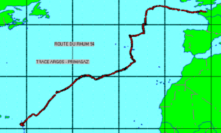

The figure shows the Argos/GPS positions of sailboats Fujicolor (F), skippered by Loick Peyron, and Primagaz (P), by Laurent Bourgnon, on 10 November 1994 at 00:00, during the 1994 Route du Rhum race across the North Atlantic. It also shows the wave heights (green = 0 metres, white = 10 metres) deduced from combining Topex/Poseidon data with a wind-driven wave model.
Fujicolor, in high waves, broke its mast, and had to sail back to France. Primagaz, sailing further south, avoided the area and won the race.
With altimetry processing becoming ever faster, seafarers will be able to use enriched wave heights to optimise their routes.

Click here to run videos with wave heights :
Some results
- Final results,
- Performances,
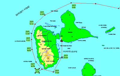
- Arrival in Pointe à Pitre :