A new "First light" in the Jasons' family
Image of the Month - January 2021
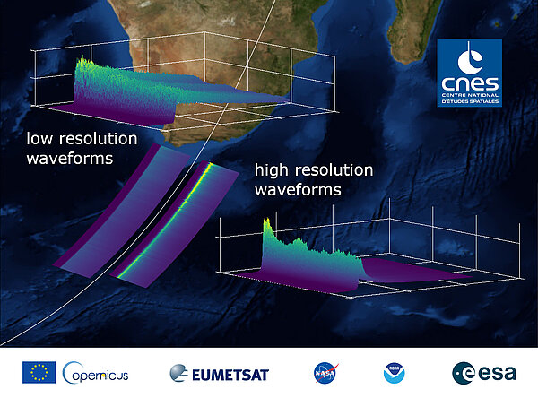
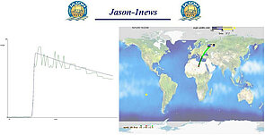
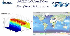
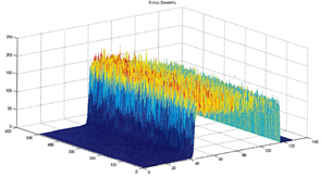
For astronomers, the "first light" is the first image collected by a given telescope. For remote sensing Earth scientists and engineers, the first data downlinked from a new satellite are the equivalent -- even if not always in the shape of an image, strictly speaking. From Poseidon-1 onboard Topex/Poseidon, to the brand new Poseidon-4 onboard Sentinel-6 Michael Freilich, launched on Nov. 21, 2020 the first waveform data were recorded , and, from Jason-1, published on this web site as a celebration of the coming into service of a new mission.
What is obvious at first glance are the improvements in plotting capabilities; what is less ovious by just looking at the figures is the improvement in sea surface height accuracy, and along-track resolution. One of the main points in this series of satellite mission is the homogeneity of the measurements of each mission with the previous ones -- and this is why you'll find Sentinel-6 also called "Jason-CS" (CS for "Continuity of Service"), to mark the continuity with Jason-1, 2 & 3 and thus with Topex/Poseidon before them, but also with the future, since a Sentinel-6 B is currently being built, so as to be ready for a launch in 2026, leading to a 40-year time series of sea surface height intercalibrated measurements, an important asset in mean sea level rise evaluation. Both Jason-3 and Sentinel-6 Michael Freilich will be in tandem to ensure this continuity for about one year.
The next few months will be focused on the commisioning of the new satellite, before it begins its operational phase and becomes "the" reference mission in altimetry.
See also:
- Missions: Topex/Poseidon, Jason-1, Jason-2/OSTM, Jason-3, Jason-CS/Sentinel-6
- Calval
Websites on this subject:
Sentinel-6 Michael Freilich on

