Land effects vs land mask effects
Lively Data : October 17, 2006
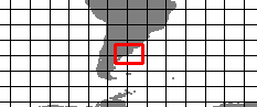
Sometimes, like in coastal areas, the Live Access Server can provide some bizarre results; for example let's consider the case of the estuary of Rio de la Plata:
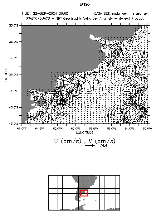
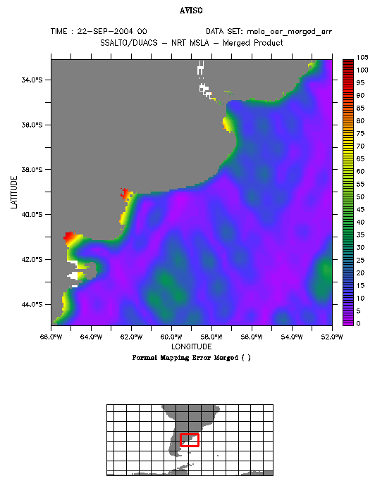
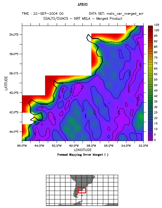
Maps of geostrophic velocity anomalies and maps of formal error, Amazon area, September 22, 2004.
Dataset 1: SSALTO/DUACS near-real time Geostrophic Velocity Anomalies; variable: Vector (U,V).
Dataset 2: SSALTO/DUACS near-real time Maps of Sea Level Anomalies ; variable: Formal Mapping Error Merged.
Date: September 22, 2004; area: (52°W-66°W; 33-45°S).
You can modify color palettes in the output options (here the "temperature rainbow" is used). To plot the same contours as on the right plot, enter (0,10,5) in "Contour levels".
Geostrophic currents seem to be realistic, except near the coast; moreover, there are some vectors that fall on the land.
Having a look on the related formal error map shows that error increase when getting closer to the coast (the contours highlight error less than 10% of the total signal). Consequently altimetric coastal currents are not effectively realistic.
The origin of the points located on the land is the land mask scheme: by choosing "outline" for land fill style, error fields are clearly partly found on the land, according to the pixel base used in the Ssalto/Duacs mapping procedure. Note as well that the LAS uses a land mask specific for each visualisation, depending on the size of the area to display.
 Use the Live Access Server

