Pass locator
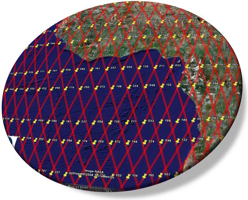
Use Google Earth to check a pass number for:
CFOSAT:
- Download the user manual with the Google Earth CFOSAT file and the txt file giving the UTC starting dates of each cycle. The combined use of these two files allows the computation of CFOSAT passes over dates and times, within five to ten minutes’ precision, which should be sufficient for product selection or for campaign preparation.
Reference orbit (currently: Sentinel-6 Michael Freilich)
- Reference orbit: Sentinel-6 MF,
but also: Jason-3 (Oct.2016 - April 7th, 2022), Jason-2 (2008-Oct.2016), Jason-1 (August 2002-February 2009), Topex/Poseidon (before August 2002).
Topex/Poseidon, Jason-1/2/3 (once moved from the reference orbit)
- Interlaced orbit: Jason-3 (since April 25th 2022), Jason-2 (from Oct. 2016 to June 2017, cycles 305 to 327), Jason-1 (after february 2009) and Topex/Poseidon (after September 2002) ,
- Jason-2 Long Repeat Orbit (LRO) (from July 2017 to July 2018, cycle 500 to 537) (by default only cycles 500 to 504 appear, select the other cycles if needed)
- Jason-2 Interleaved Long Repeat Orbit (I-LRO) (from July 2018, beginning cycle 600): Not available.
Saral, ERS-1/2, Envisat:
- Saral (before July 4th 2016 : orbit change), ERS1 (35 days phase), ERS-2 and Envisat (before October 22th 2010: orbit change),
- Envisat new orbit (theoretical tracks extension phase - beyond November 2010, not strictly repetitive)
Copernicus Sentinel-3, Cryosat-2, Geosat Follow On:
- Copernicus Sentinel-3 (ESA delivered the kml file with S3 ground-track points with a time step of 10 seconds, please refer to ESA's website).
- Cryosat-2 (entire cycle)
- GFO
(.kmz files)
Summary: Topex/Poseidon was launched on 1992 on a referenced orbit which was assumed by Jason-1 (on December 2001) and OSTM/Jason-2 (on June 2008). At the end of the Jason-1's calibration phase on September 2002, Topex/Poseidon was shifted on a new orbit, called interleaved orbit, on the midway of its old ground tracks. In the same way, at the end of OSTM/Jason-2's calibration phase on January-February 2009, Jason-1 was also shifted on the same Topex/Poseidon interleaved orbit. In order to better suit for real-time applications, Jason-1 also undergone a temporal shift with a time lag of approximately 5 days with respect to OSTM/Jason-2. In other words, when Jason-1 begins a new cycle with the pass #001, OSTM/Jason-2 begins the pass #127 (on the same cycle). On Oct. 2016, this is the same for Jason-3 on the referenced orbit and Jason-2 on the interleaved orbit. From July 2017 (beginning at cycle 500), Jason-2 operates on a new long-repeat orbit (LRO) at roughly 1309.5 km altitude. From July 2018 (beginning cycle 600), Jason-2 operates on an interleaved long repeat orbit (i-LRO), for the second geodetic cycle, on a ground track in the middle of the grid defined by the first geodetic cycle.
Swot orbit
Ground track and Swath files (kml & shapefiles)
- Nadir ground tracks: swot_science_orbit_nadir_only.kml
- Open Ocean (lower resolution "LR") Swot data coverage, 10 s time step
- Open Ocean (lower resolution "LR") Swot data coverage, 30 s time step (lighter files, but less precise, especially at high latitudes)
- Land waters and coastal (higher resolution "HR") Swot data theoretical coverage, 10 s time step
- Land waters and coastal (higher resolution "HR") Swot data seasonal (Dec-Feb) theoretical coverage, 10 s time step, as of Dec. 1st, 2024.
Ground track and Swath files (kml & shapefile)
Open Ocean (lower resolution "LR") Swot data coverage
- swot_calval_orbit_june2015-v2.kml
- shp_calval_nadir.zip & sph_calval_swath.zip including the shapefiles
Land waters and coastal (higher resolution "HR") Swot data theoretical coverage, 10 s time step
- swot_calval_hr_Dec2022-v07_perPass.kml
- swot_calval_hr_Dec2022-v07_nadir.zip & swot_calval_hr_Dec2022-v07_swath.zip including the shapefiles

