Doris on Jason-3
The Doris instrument onboard Jason-3 will provide real-time location and precise orbit determination. Doris measurements are also used for geophysical studies, in particular through the International Doris Service (IDS). Doris is a dual-frequency instrument able to determine atmospheric electron content.
The main changes from the previous Doris instruments are:
- New generation DGXX-S taking into account lessons learned from Jason-2
- Change of Doris antenna location for compliance with each potential launch vehicle
- Improvement in modeling the Solar Panels position
- New data in Telemetry allowing "pole product" generation
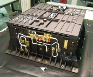
Function
Real-time location: Diode
The Diode onboard navigator locates the satellite on orbit in real time. This information is essential for providing altimetry data in real time or near-real time.
Doris Diode real-time location is coupled with Poseidon-3B altimeter, thus enabling better altimeter data acquisition in areas like coastal zones, inland waters and ice.
Precise orbit determination
Doris measurements are used for precise orbit determination (POD).
Ionospheric electron content
By measuring and comparing the path delay of signals transmitted at two separate frequencies, Doris is able to calculate the electron content in the atmosphere.
This function complements the dual-frequency altimeter function.

Doris network of orbitography beacons and their spatial coverage for a Jason-type satellite
Principle
Doris orbitography beacons transmit signals at two separate frequencies (2036.25 MHz and 401.25 MHz) to the satellite. The receiver onboard the satellite analyzes the received signal frequencies to calculate its velocity relative to Earth. This velocity is fed into orbit determination models to derive the satellite's position on orbit below 1 centimeter on the radial component.
Further information :
- Doris on Aviso website.
- International Doris Service (IDS).

