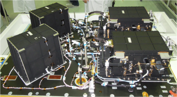
Poseidon-3B altimeter
The Poseidon-3 altimeter is the main instrument on the Jason-3 mission. Derived from the Poseidon-1 altimeter on Topex/Poseidon, Poseidon-2 on Jason-1 and Poseidon-3 on Jason-3, it measures sea level, wave heights and wind speed. It operates at two frequencies and is also able to estimate ionospheric electron content.
Function
Poseidon-3 measures range (the distance from the satellite to the Earth's surface), wave height and wind speed.
New features wrt Poseidon-3 onboard Jason-2
This new altimeter implements a mixed mode allowing on-board automatic transitions between the Diode/DEM mode and the acquisition/tracking mode with respect to the satellite position, while Jason-2 altimeter requires a ground telecommand to switch from one mode to the other, thus being much less flexible.
Moreover, Poseidon-3B DEM upload is now possible without mission interruption.
Principle
Radar altimeters permanently transmit signals to Earth, and receive the echo from the surface (see how altimetry works for details). Poseidon-3B operates at two frequencies (13.6 GHz in the Ku-band, 5.3 GHz in the C-band) to determine atmospheric electron content, which affects the radar signal path delay. These two frequencies also serve to define if there is rain or not.
Technical data
Poseidon-3B, or SSALT (for Solid State ALTimeter), uses solid-state amplification techniques
| Emitted Frequency (GHz) | Dual-frequency (Ku, C) - 13.575 and 5.3 |
|---|---|
| Pulse Repetition Frequency (Hz) | 2060 interlaced {3Ku-1C-3Ku} |
| Pulse duration (microseconds) | 105 |
| Bandwidth (MHz) | 320 (Ku and C) |
| Antenna diameter (m) | 1.2 |
| Antenna beamwidth (degrees) | 1.28 (Ku), 3.4 (C) |
| Power (W) | 7 |
| Redundancy | Yes |
| Specific features | Solid-State Power Amplifier. |
| Dual-frequency for ionospheric correction, | |
| High resolution in C band (320 MHz) |

