Combining sensors
Image of the Month - June 2003

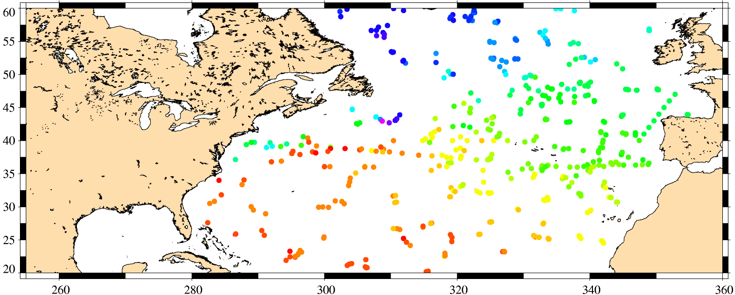

Space techniques are not superseding measurements at sea; they complete, extend and use them as reference. Moreover, with profiling floats that automatically bob up and down the ocean (see the animation on Argo program website) deep, accurate, measurements are available -- even if very locally. On the other side, satellite date are plentyfull, but do not give direct access to indepth phenomena. Altimetry is an "integrated" measurement, i.e. whatever happens between seafloor and surface have an impact on it; but deducing those events from the sea surface height is not an easy thing. Combining altimetry with sea surface temperature helps, but there are still uncertainties left. With profiling floats, we have a precise idea -- at a given location. By combining them with satellite data, we have an image of the ocean in three dimensions. This can be compared to models like Mercator, or be used for heat or salt ocean content studies...

