Altimetry & Doris posters
A few posters and leaflet explaining how altimetry and Doris work.
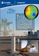
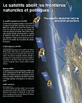
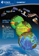
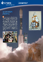
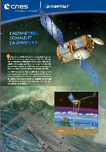
Altimetry

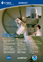
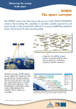
Doris