Estimating Sea Surface Salinity
Image of the month - September 2005
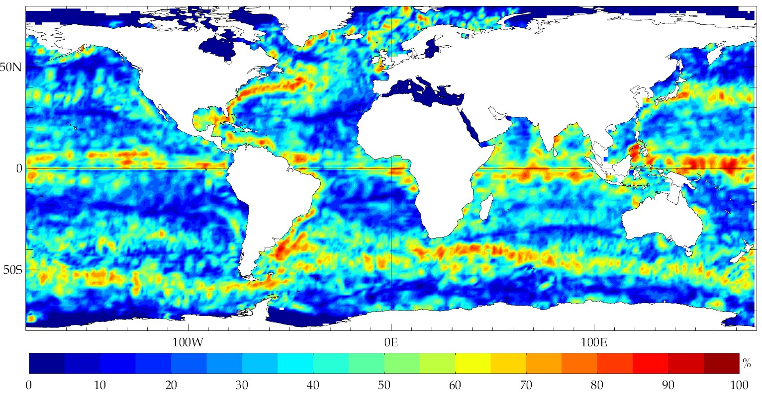
Sea Surface Salinity is a key parameter to estimate the influence of oceans on climate. Unlike temperature, it has no direct effect on air/sea exchanges, but it determines the convection and re-emergence of water masses, which are crucial for the seasonal to interannual variability of the global system. Unfortunately, since no satellite is yet available (Smos should be launched beginning of 2007, by Esa), Sea Surface Salinity measurements are expensive and very heterogeneously distributed, so the spatial distribution and the time variability of SSS are still very poorly known over most of the ocean surface.
Several ways to circumvent this lack of measurements are possible, which use, directly (by estimating salinity from sea surface height and temperature) or indirectly (by numerical ocean models) are using altimetry data. With an ocean mixed-layer model (between 50 and 1000 m depth), Sea Surface Salinity can be estimated by modeling external (winds, evaporation/precipitation, river runoffs...) and internal (horizontal transport, vertical mixing,...) influences. Geostrophic currents, in particular, have a strong impact on most of the ocean.

See also:
- Image of the Month, August 2003: Sea salt seen by altimeters
- Data: Gridded ADT products
Websites on this subject:
- A pinch of Mercator in Smos (Mercator Ocean)
- Sea Surface Salinity from Space (Fisheries and Oceans Canada)

