SSALTO/DUACS Experimental products: gridded Sea Level Heights and velocities with Multiscale Interpolation combining altimetry and drifters
Types of dataset: Ssalto/Duacs mutlimission altimeter products "Experimental". Preparation to the SWOT Era.
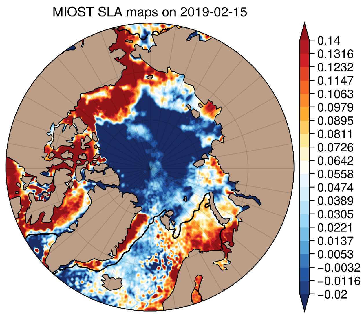
Contents: multimission sea surface heights computed with respect to a twenty-year mean using Multiscale Interpolation Ocean Science Topography (MIOST) (1/10°x1/10° on cartesian grid), combining altimetry and drifters
DOI: 10.24400/527896/a01-2022.009 - more metadata
Use: regional studies, ocean variability (mesoscale circulation,...)
Condition of access : Users should keep in mind that these products are experimental products. Notably, they are not produced on an operational basis. These products are available free of charge for any purpose (scientific, operational, commercial, etc.) as stated in the licence agreement.
Access services: FTP or Thredds Data Server with your personnal account or https://data.aviso.altimetry.fr/aviso-gateway/data/SLA_MIOST_alti_drifters/
Citation: When using the SSALTO/DUACS experimental products, please cite: "Those products were processed by SSALTO/DUACS and distributed by AVISO+ (https://www.aviso.altimetry.fr) with support from CNES. DOI: 10.24400/527896/a01-2022.009”
Description: global product resulting from Multiscale Interpolation, available in delayed time. It combines altimetry and drifters.
Geographic coverage: global
Tools and references:
- User handbook: SSALTO/DUACS experimental products handbook: SLA with Multiscale Intepolation combining altimetry and drifters
- Ballarotta et al., OSTST 2022: Improved global sea surface height and currents maps from remote sensing and in situ observations
- Ubelmann et al, 2021: Reconstructing Ocean Surface Current Combining Altimetry and Future Spaceborne Doppler Data, JGR Oceans, DOI: 10.1029/2020JC016560
- Ballarotta, M., Ubelmann, C., Veillard, P., Prandi, P., Etienne, H., Mulet, S., Faugère, Y., Dibarboure, G., Morrow, R., and Picot, N.: Improved global sea surface height and current maps from remote sensing and in situ observations, Earth Syst. Sci. Data, 15, 295–315, https://doi.org/10.5194/essd-15-295-2023, 2023
Format: NetCDF-CF
Copyright : 2016-2020 - CLS-Cnes
Delayed-time gridded Multiscale Interpolation product (MIOST) combining altimetry and drifters
| Satellite | Area | Type | Authenticated access service | Data period | File weight |
|---|---|---|---|---|---|
| Merged | global | gridded | please refer to MY AVISO+ and select the product "Ssalto/Duacs Experimental products: along-track and gridded Sea Level Heights and velocities" | 2016/07/01-2020/06/30 | 38 MB per file |

