Rivers and lakes monitoring
Water is one of the Earth's most vital resources. A knowledge of the level of lakes and reservoirs is therefore essential, in order to optimise their use. However, the necessary monitoring cannot always be performed in situ, for reasons such as a lack of resources or inaccessibility.
Initially designed to be used for the oceans, Topex/Poseidon was also found to be effective for measuring height variations on smaller surfaces such as lakes and even rivers. It has therefore been possible to monitor the great African and American lakes, the Aral Sea, the Amazon and the Ganges rivers. High mountain lakes which are fed by glacier runoff in the Andes or the Himalayas are also monitored, to mitigate consequences downstream of any overflow.
In addition, the occurrence of diseases such as malaria is linked to the presence of flooded areas. Altimetry data for such wetlands can be integrated into systems for monitoring epidemiological conditions in developing countries.
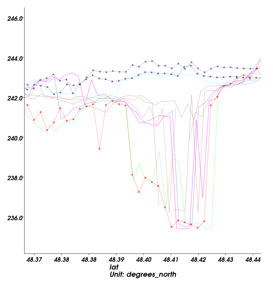  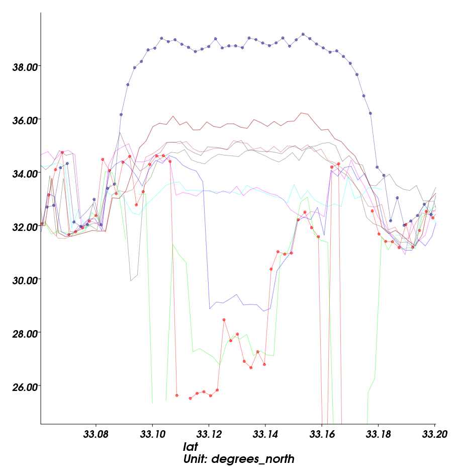 | 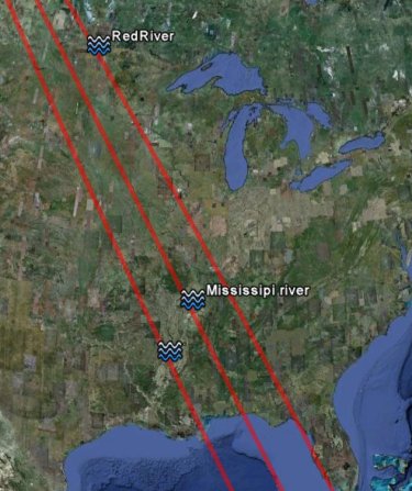 | |
Spring 2011: Rise of the water level on several locations of the Mississipi river basins from January to May 2011, as measured by Jason-2 altimeter (data provided by an hydrology specific processing). Credits CLS/Cnes. | ||
- News, 2013-06-05: Saral also provides promising results over the Amazon river
- News, 2012-09-19: Flooding in Nigeria
- News, 2012-06-05: Record flood in the Amazon basin
- News, 2011-05-10: High waters in Mississipi river
- News, 2011-03-23: Flooding and hurricane in Australia seen by altimetry
- News, 2010-09-16: Severe flooding hits southern Mexico
- News, 2010-08-11 High floods in India and Pakistan
- News, 2010-08-03 Flooding in the Yangste basin
- News, 2009-05-14 Exceptional flood on the Amazon river
- News, 2008-08-18 Jason-2 for hydrology: good perspectives
Other material
- Altimetry applications in videos: Hydrology
- Altimetry applications in videos: Lake Chad
- Altimetry applications in videos: Aral Sea
- Aviso Users Newsletter #4
- Aviso Newsletter #6: TOPEX/POSEIDON - A Strong Contribution to the Global Monitoring of Inland Water, C. Birkett

